Seeing More Sooner.
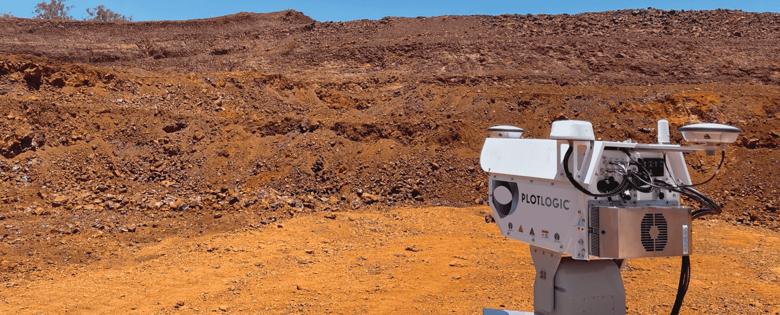
OreSense® has redefined how mining operations see their orebody. OreSense® complements traditional methods with ultra-high resolution surface scanning and AI-powered insights, enabling faster, smarter geological decisions that embed directly into operational workflows.
1. If OreSense® doesn’t penetrate ground, how does it add value?
OreSense® complements penetration-dependent insights by:
- Delivering fast, ultra-high spatial resolution surface scanning results
- Using AI to recognise patterns and extrapolate subsurface trends early and integrating into the mining process to support the decision when required.
- Enhancing drill and assay data, not replacing it
It strengthens geological interpretations through frequency, precision, and integration, not through
duplication.
2. Can we have any certainty if we haven’t tested the orebody at depth?
Geological models are typically built on a combination of observations, samples and assumptions. Such models are usually built early in the life of an asset and go through periodic updates. OreSense® does not replace these steps but improves models by:
- Increasing informed data density at a high resolution and spatial coverage
- Shrinking the gap between sampling and insight (from days (or weeks) to minutes)
- Offering independent and repeatable insights, when compared to visual and manual observations
- Allowing operators to rapidly validate their resource models with independent, quantitative measurements.
- Enabling adaptive models through historical and live data integration
OreSense® builds confidence by delivering fast, more frequent, contextualised data points and integrating them into the mining process to enable faster and better decisions.
3. Does OreSense® replace lab assays?
OreSense® is engineered to complement, not replace, high-precision assays. It adds value by:
- Providing near-real-time, spatially continuous insight
- Screening samples and intervals prior to despatch to lab – time and cost saved where laboratory analysis not required
- Supporting QA/QC cycles across mine planning and production
It’s not lab or OreSense®, it’s the smart combination of both.
4. How does scanning more make data more representative?
OreSense® improves representativeness by:
- Complete coverage of a region of interest – not just the part that people and machines can reach
- Increasing spatial density of data (from multiple meters to mm scale)
- Enabling fine-scale mapping of mineral variability and transitions
More scans doesn’t just mean more data, it means smarter data, capturing the geological context.
5. Will OreSense® replace labs or drilling?
No, OreSense® complements these methods, unlocking:
- Seamless integration into grade control, survey, geology, and production workflows
- In mine planning, for example, OreSense® supports short-interval control between grade control drilling campaigns, filling the gaps that slow down progress
- Cost efficiencies by reducing unnecessary testing
- Continuous feedback loops with labs and drilling to refine models
The value lies in how it shortens decision loops, tightens control, and reduces operational lag
Final Thought: Filling a long-standing gap in operating mining practices
Traditional practices including drilling and laboratory methods are fundamental. But they struggle to provide rapid, high resolution continual updates at reasonable cost – and our controls on mining operations remain limited. OreSense® fills this gap – unlocking the next level of intelligent mining, integration and value capture.

